
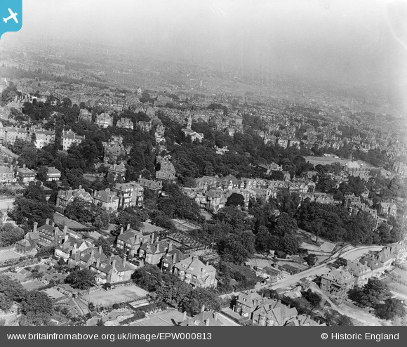
epw000813 ENGLAND (1920). General view over Hampstead, Hampstead, from the west, 1920
© Copyright OpenStreetMap contributors and licensed by the OpenStreetMap Foundation. 2024. Cartography is licensed as CC BY-SA.
Nearby Images (4)
EPW000813

EAW014554

EAW000618

EAW000615

Details
| Title | [EPW000813] General view over Hampstead, Hampstead, from the west, 1920 |
| Reference | EPW000813 |
| Date | May-1920 |
| Link | |
| Place name | HAMPSTEAD |
| Parish | |
| District | |
| Country | ENGLAND |
| Easting / Northing | 525794, 185655 |
| Longitude / Latitude | -0.18530114999103, 51.555258906067 |
| National Grid Reference | TQ258857 |
Pins
 Class31 |
Wednesday 22nd of October 2014 07:57:09 AM | |
 Andrew Holmes |
Friday 29th of June 2012 05:11:36 PM | |
Andrew Holmes |
Friday 29th of June 2012 05:09:35 PM | |
S Hope |
Thursday 28th of June 2012 12:41:29 PM |

User Comment Contributions
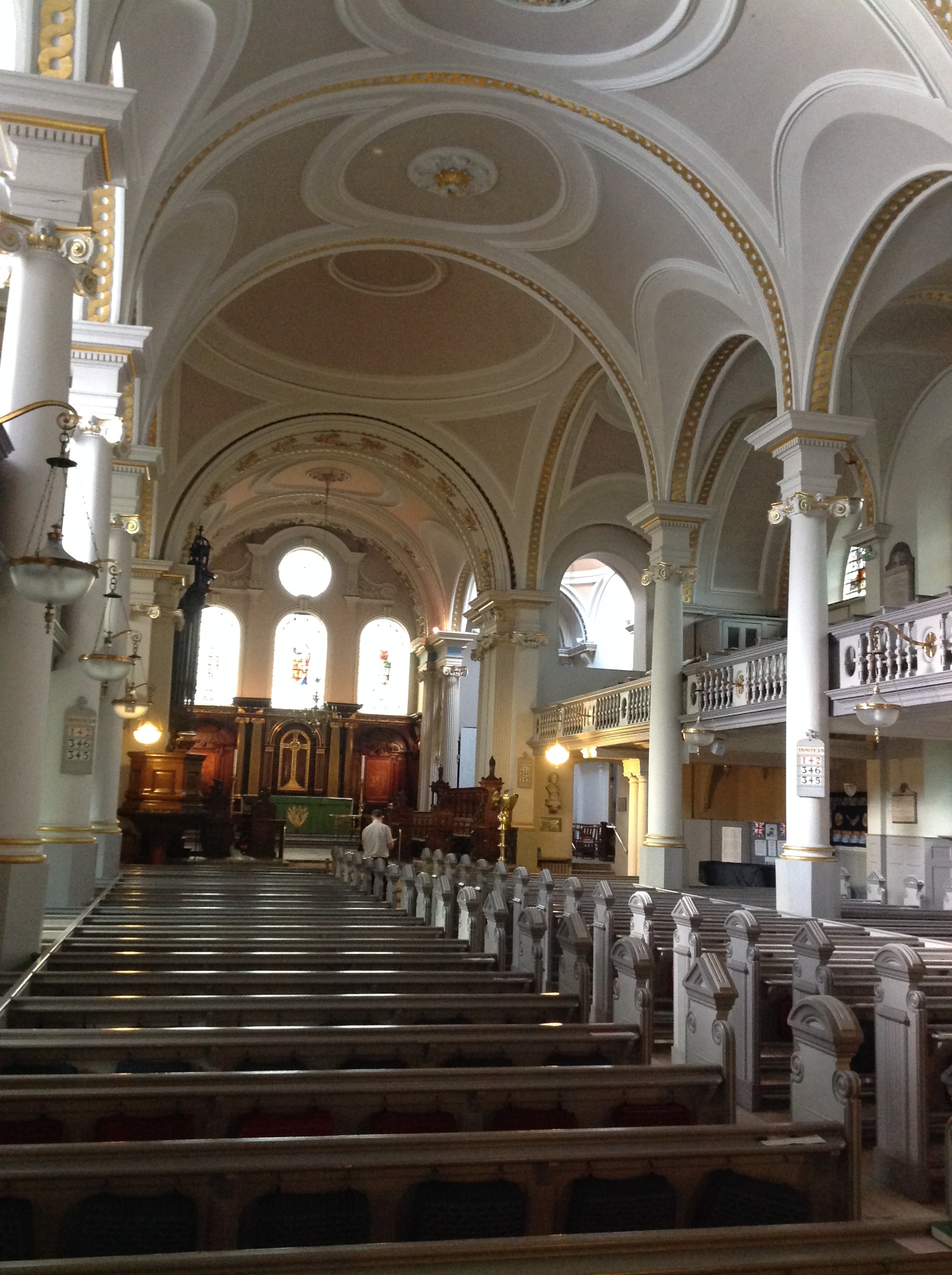 St John-at-Hampstead Parish Church, 21/10/2014 |
Class31 |
Wednesday 22nd of October 2014 07:58:52 AM |
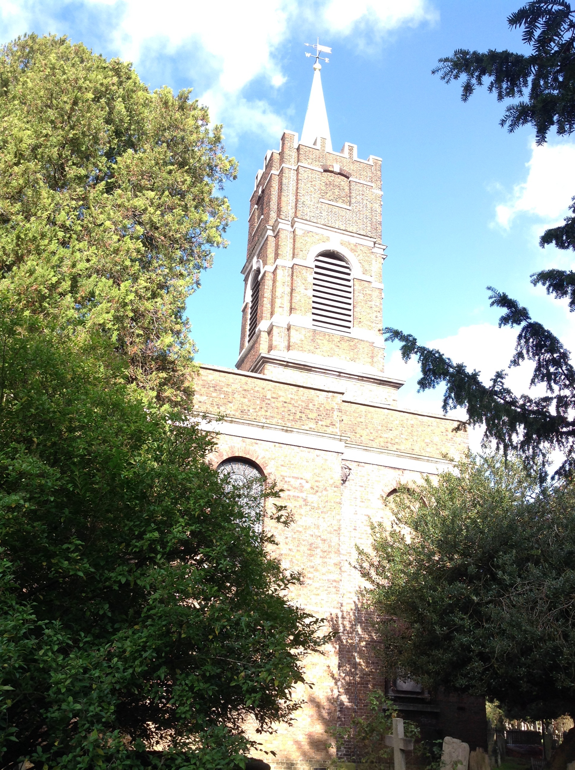 St John-at-Hampstead Parish Church, 21/10/2014 |
Class31 |
Wednesday 22nd of October 2014 07:58:24 AM |
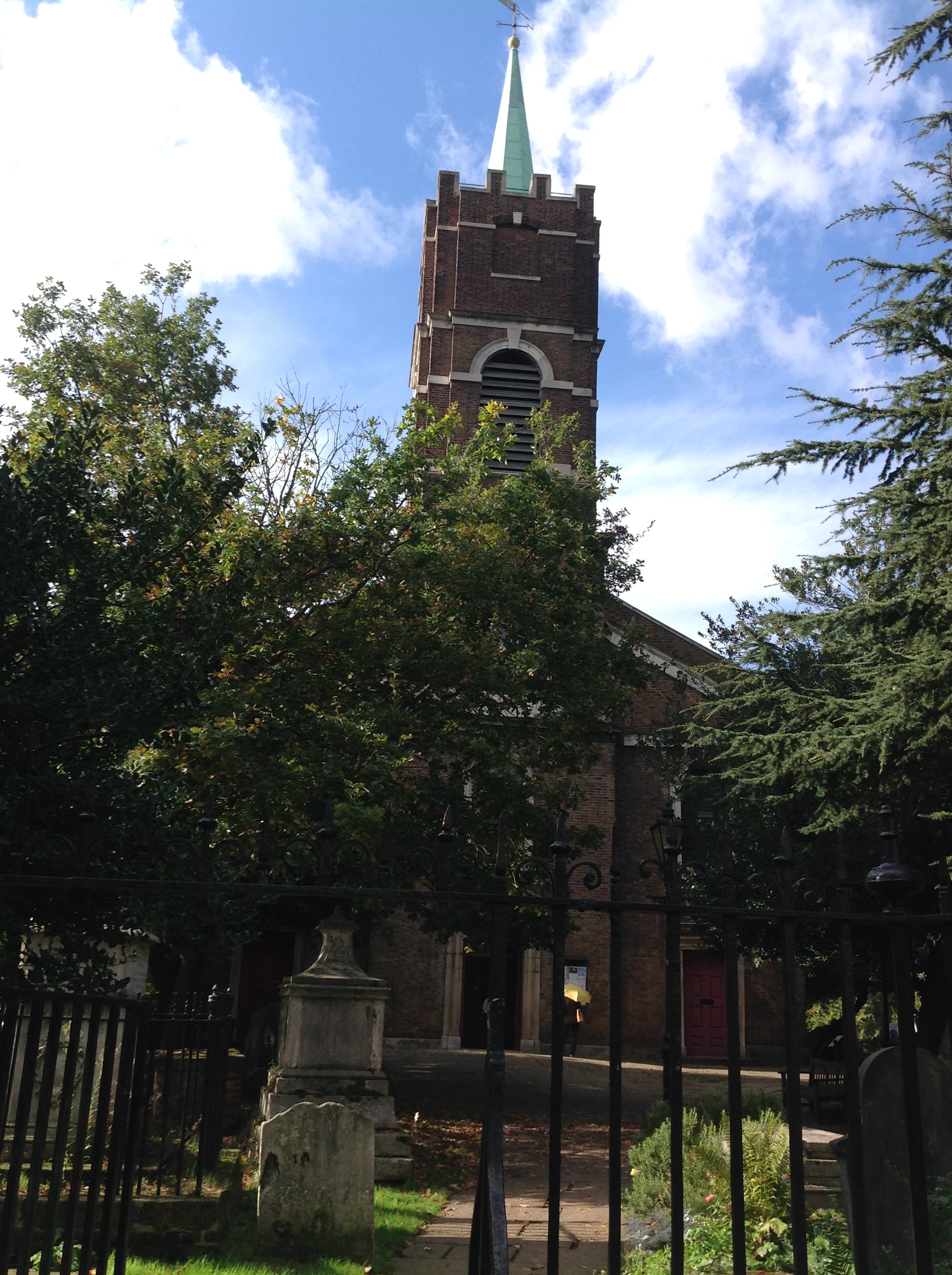 St John-at-Hampstead Parish Church, 21/10/2014 |
Class31 |
Wednesday 22nd of October 2014 07:57:57 AM |
Hampstead Parish Church with the distinctive tower is a little way up from the centre. The area in the bottom half is therefore Frognal |
S Hope |
Thursday 28th of June 2012 12:26:57 PM |


