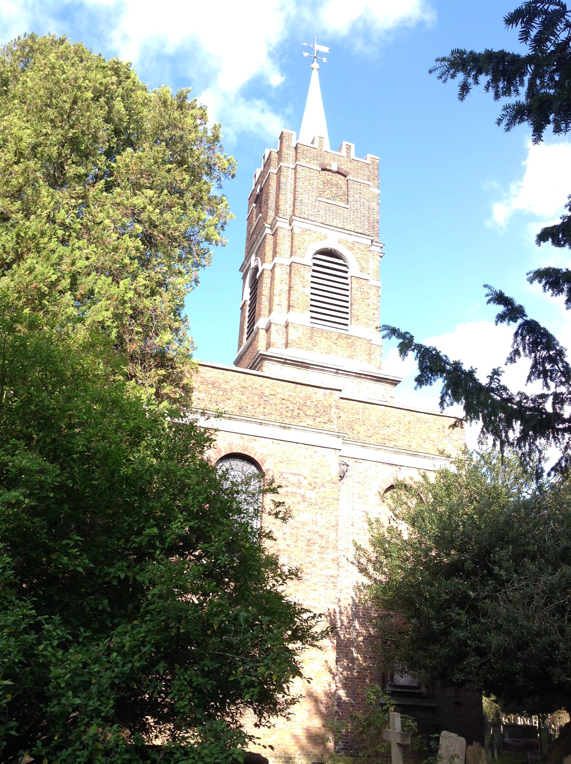
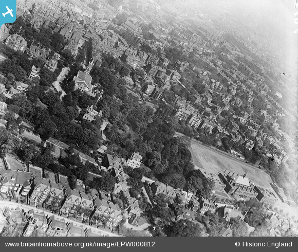
epw000812 ENGLAND (1920). St John-at-Hampstead Parish Church and University College School, Hampstead, 1920
© Copyright OpenStreetMap contributors and licensed by the OpenStreetMap Foundation. 2024. Cartography is licensed as CC BY-SA.
Nearby Images (6)
EPW000812

EAW000617

EPW000817

EPW056665

EPW056658

EPW056653

Details
| Title | [EPW000812] St John-at-Hampstead Parish Church and University College School, Hampstead, 1920 |
| Reference | EPW000812 |
| Date | May-1920 |
| Link | |
| Place name | HAMPSTEAD |
| Parish | |
| District | |
| Country | ENGLAND |
| Easting / Northing | 526252, 185491 |
| Longitude / Latitude | -0.17875653410774, 51.553682560874 |
| National Grid Reference | TQ263855 |