
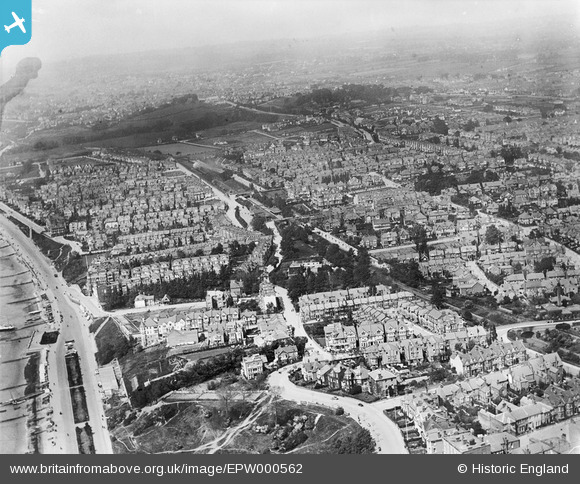
epw000562 ENGLAND (1920). Westcliff-on-Sea, Southend-on-Sea, from the south-east, 1920
© Copyright OpenStreetMap contributors and licensed by the OpenStreetMap Foundation. 2024. Cartography is licensed as CC BY-SA.
Nearby Images (19)
EPW000562

EPW058504

EPW000449

EPW054676

EPW039869

EPW036728

EPW024866

EPW037006

EPW036992

EPW024861

EPW000539

EPW036729

EAW053091

EPW036710

EPW000541

EPW036991

EPW040980

EPW040968

EPW036713

Details
| Title | [EPW000562] Westcliff-on-Sea, Southend-on-Sea, from the south-east, 1920 |
| Reference | EPW000562 |
| Date | April-1920 |
| Link | |
| Place name | WESTCLIFF-ON-SEA |
| Parish | |
| District | |
| Country | ENGLAND |
| Easting / Northing | 587176, 185299 |
| Longitude / Latitude | 0.6991194617803, 51.535037539863 |
| National Grid Reference | TQ872853 |
Pins
 Mark Horton |
Sunday 15th of October 2017 08:38:57 PM | |
sakkysea |
Tuesday 20th of January 2015 11:21:17 AM | |
sakkysea |
Tuesday 20th of January 2015 11:18:31 AM |


