
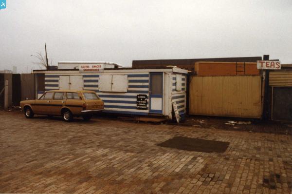
eaw622105 ENGLAND (1993). St Katherine Docks, Wapping, London, 1993

© Copyright OpenStreetMap contributors and licensed by the OpenStreetMap Foundation. 2024. Cartography is licensed as CC BY-SA.
Nearby Images (14)
EAW622105

EPW056987

EPW056986

EPW056988

EAW035309

EPW056989

EPW056985

EPW056984

EPW045382

EPW044141

EPW045556

EAW043620

EPW044140

EAW000632

Details
| Title | [EAW622105] St Katherine Docks, Wapping, London, 1993 |
| Reference | EAW622105 |
| Date | 13-July-1993 |
| Link | |
| Place name | ST KATHERINE DOCKS |
| Parish | NON CIVIL PARISH |
| District | |
| Country | ENGLAND |
| Easting / Northing | 534045, 180257 |
| Longitude / Latitude | -0.068398113091902, 51.504844742066 |
| National Grid Reference | TQ340803 |
Pins
 HowieTheDuck |
Sunday 4th of April 2021 10:14:23 AM | |
HowieTheDuck |
Sunday 4th of April 2021 10:13:13 AM | |
HowieTheDuck |
Sunday 4th of April 2021 10:12:27 AM | |
HowieTheDuck |
Sunday 4th of April 2021 10:11:17 AM | |
 |
 melgibbs |
Thursday 12th of November 2015 04:04:44 PM |


