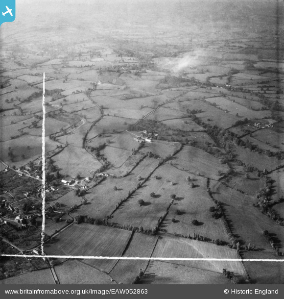
eaw052863 ENGLAND (1953). Ditcheat Hill Farm and the surrounding countryside, Ditcheat, 1953. This image was marked by Aerofilms Ltd for photo editing.
© Copyright OpenStreetMap contributors and licensed by the OpenStreetMap Foundation. 2024. Cartography is licensed as CC BY-SA.
Nearby Images (8)
EAW052863

EAW052860

EAW052861

EAW052865

EAW052858

EAW052859

EAW052862

EAW052864

Details
| Title | [EAW052863] Ditcheat Hill Farm and the surrounding countryside, Ditcheat, 1953. This image was marked by Aerofilms Ltd for photo editing. |
| Reference | EAW052863 |
| Date | 16-October-1953 |
| Link | |
| Place name | DITCHEAT |
| Parish | DITCHEAT |
| District | |
| Country | ENGLAND |
| Easting / Northing | 362279, 136962 |
| Longitude / Latitude | -2.5391321165083, 51.13016526217 |
| National Grid Reference | ST623370 |
Pins
 Class31 |
Monday 16th of November 2015 04:18:37 PM | |
Class31 |
Monday 16th of November 2015 04:15:54 PM | |
Class31 |
Monday 16th of November 2015 04:14:30 PM | |
Class31 |
Monday 16th of November 2015 04:13:40 PM | |
Class31 |
Monday 16th of November 2015 04:12:20 PM | |
Class31 |
Monday 16th of November 2015 04:08:47 PM | |
Class31 |
Monday 16th of November 2015 04:07:04 PM |