
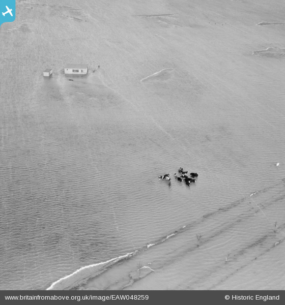
eaw048259 ENGLAND (1953). Extensive flooding to the east of Great Shelford, Foulness Island, 1953
© Copyright OpenStreetMap contributors and licensed by the OpenStreetMap Foundation. 2024. Cartography is licensed as CC BY-SA.
Details
| Title | [EAW048259] Extensive flooding to the east of Great Shelford, Foulness Island, 1953 |
| Reference | EAW048259 |
| Date | 2-February-1953 |
| Link | |
| Place name | FOULNESS ISLAND |
| Parish | FOULNESS |
| District | |
| Country | ENGLAND |
| Easting / Northing | 598871, 190382 |
| Longitude / Latitude | 0.8704176674111, 51.576690209641 |
| National Grid Reference | TQ989904 |
Pins
 Dave Brunt |
Sunday 29th of June 2014 01:01:29 AM | |
Thanks for the pin on the road Dave, it really helps with this image! We’ll update the catalogue and post the new data here in due course. Yours, Katy Britain from Above Cataloguing Team Leader |
Katy Whitaker |
Monday 11th of August 2014 12:11:23 PM |


