
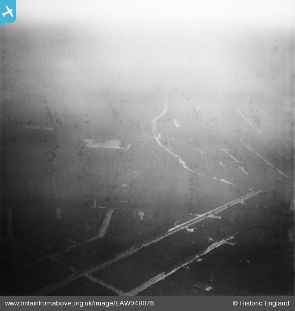
eaw048076 ENGLAND (1952). Gale Street and environs, Dagenham, from the north, 1952
© Copyright OpenStreetMap contributors and licensed by the OpenStreetMap Foundation. 2024. Cartography is licensed as CC BY-SA.
Nearby Images (2)
EAW048076

EPW035571

Details
| Title | [EAW048076] Gale Street and environs, Dagenham, from the north, 1952 |
| Reference | EAW048076 |
| Date | 12-December-1952 |
| Link | |
| Place name | DAGENHAM |
| Parish | |
| District | |
| Country | ENGLAND |
| Easting / Northing | 547625, 185283 |
| Longitude / Latitude | 0.12925902579929, 51.546625196419 |
| National Grid Reference | TQ476853 |
Pins
 Dave Brunt |
Saturday 2nd of August 2014 08:40:13 PM | |
Dave Brunt |
Saturday 2nd of August 2014 08:39:29 PM | |
Dave Brunt |
Saturday 2nd of August 2014 08:38:43 PM | |
Dave Brunt |
Saturday 2nd of August 2014 08:38:13 PM | |
Dave Brunt |
Saturday 2nd of August 2014 08:37:30 PM | |
Dave Brunt |
Saturday 2nd of August 2014 08:37:01 PM |
User Comment Contributions
Hi Dave, Thanks for the pins, it's really useful to have the street names on this image. We’ll update the catalogue and post the new data here in due course. Yours, Katy Britain from Above Cataloguing Team Leader |
Katy Whitaker |
Monday 11th of August 2014 11:52:32 AM |
was thinking of Cambridge St and Windsor St in Rugby but some roads not quite right |
TomRobin |
Monday 30th of June 2014 09:45:21 AM |
There is a large lake towards the centre of this photograph. I believe that identification of this lake is key to finding the location of this pair of photos. I have been looking at the Wimbledon Park Lake willing it to fit the photograph but I don't think that it is Wimbledon. I also think that the photograph was taken in the London area but so far I can't locate the lake. |
 Class31 |
Monday 9th of June 2014 07:38:18 AM |
EAW048075 and EAW048076 cover the same area and were taken on the same day, 12th December 1952. |
Class31 |
Monday 9th of June 2014 07:33:57 AM |


