
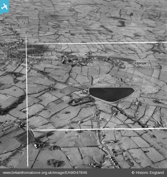
eaw047846 ENGLAND (1952). Spade Mill Reservoir (Preston Corporation Water Works), Tootle Height and the surrounding countryside, Longridge, 1952. This image was marked by Aerofilms Ltd for photo editing.
© Copyright OpenStreetMap contributors and licensed by the OpenStreetMap Foundation. 2024. Cartography is licensed as CC BY-SA.
Nearby Images (5)
EAW047846
, Tootle Height and the surrounding countryside, Longridge, 1952. This image was marked by Aerofilms Ltd for photo editing.")
EAW047843
 and the town, Longridge, 1952. This image was marked by Aerofilms Ltd for photo editing.")
EAW047842
 and the town, Longridge, 1952. This image was marked by Aerofilms Ltd for photo editing.")
EAW047844
 and Tootle Height, Longridge, 1952. This image was marked by Aerofilms Ltd for photo editing.")
EAW047841
 and Tootle Height, Longridge, 1952. This image was marked by Aerofilms Ltd for photo editing.")
Details
| Title | [EAW047846] Spade Mill Reservoir (Preston Corporation Water Works), Tootle Height and the surrounding countryside, Longridge, 1952. This image was marked by Aerofilms Ltd for photo editing. |
| Reference | EAW047846 |
| Date | 11-November-1952 |
| Link | |
| Place name | LONGRIDGE |
| Parish | LONGRIDGE |
| District | |
| Country | ENGLAND |
| Easting / Northing | 361749, 437428 |
| Longitude / Latitude | -2.581257774475, 53.831492264822 |
| National Grid Reference | SD617374 |
Pins
Be the first to add a comment to this image!


