
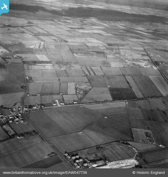
eaw047736 ENGLAND (1952). Bank End Road and the surrounding area, Blaxton, 1952
© Copyright OpenStreetMap contributors and licensed by the OpenStreetMap Foundation. 2024. Cartography is licensed as CC BY-SA.
Details
| Title | [EAW047736] Bank End Road and the surrounding area, Blaxton, 1952 |
| Reference | EAW047736 |
| Date | 31-October-1952 |
| Link | |
| Place name | BLAXTON |
| Parish | BLAXTON |
| District | |
| Country | ENGLAND |
| Easting / Northing | 467768, 400617 |
| Longitude / Latitude | -0.97830182933462, 53.497632172756 |
| National Grid Reference | SE678006 |
Pins
Be the first to add a comment to this image!


