
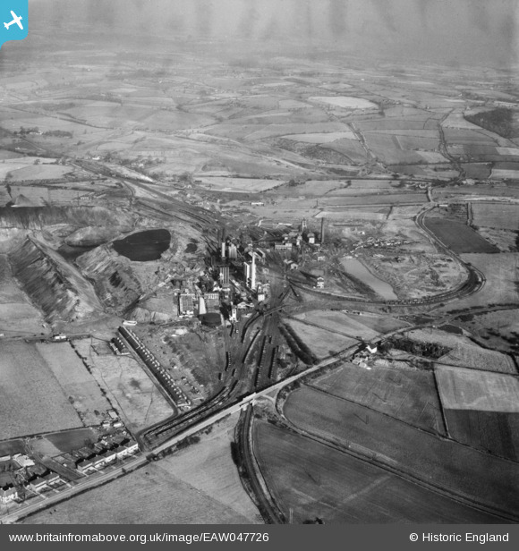
eaw047726 ENGLAND (1952). Grassmoor Colliery and environs, Grassmoor, 1952
© Copyright OpenStreetMap contributors and licensed by the OpenStreetMap Foundation. 2024. Cartography is licensed as CC BY-SA.
Nearby Images (4)
EAW047726

EAW047724

EAW047725

EAW047723

Details
| Title | [EAW047726] Grassmoor Colliery and environs, Grassmoor, 1952 |
| Reference | EAW047726 |
| Date | 31-October-1952 |
| Link | |
| Place name | GRASSMOOR |
| Parish | GRASSMOOR, HASLAND AND WINSWICK |
| District | |
| Country | ENGLAND |
| Easting / Northing | 441104, 367482 |
| Longitude / Latitude | -1.384570273033, 53.202536130328 |
| National Grid Reference | SK411675 |
Pins
Be the first to add a comment to this image!


