
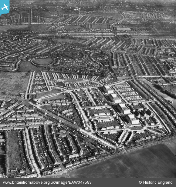
eaw047583 ENGLAND (1952). Pollards Hill, Mitcham, 1952
© Copyright OpenStreetMap contributors and licensed by the OpenStreetMap Foundation. 2024. Cartography is licensed as CC BY-SA.
Nearby Images (3)
EAW047583

EAW047579

EAW047581

Details
| Title | [EAW047583] Pollards Hill, Mitcham, 1952 |
| Reference | EAW047583 |
| Date | 23-October-1952 |
| Link | |
| Place name | MITCHAM |
| Parish | |
| District | |
| Country | ENGLAND |
| Easting / Northing | 530264, 168348 |
| Longitude / Latitude | -0.12723681996383, 51.39869382324 |
| National Grid Reference | TQ303683 |
Pins
Be the first to add a comment to this image!


