
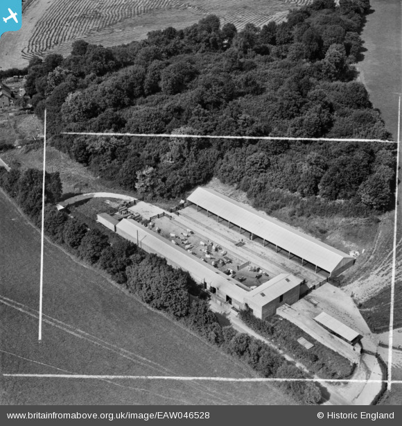
eaw046528 ENGLAND (1952). Agricultural buildings on Andover Lane, Great Shoddesden, 1952. This image was marked by Aerofilms Ltd for photo editing.
© Copyright OpenStreetMap contributors and licensed by the OpenStreetMap Foundation. 2024. Cartography is licensed as CC BY-SA.
Nearby Images (4)
EAW046528

EAW046529

EAW046527

EAW046526

Details
| Title | [EAW046528] Agricultural buildings on Andover Lane, Great Shoddesden, 1952. This image was marked by Aerofilms Ltd for photo editing. |
| Reference | EAW046528 |
| Date | 29-August-1952 |
| Link | |
| Place name | GREAT SHODDESDEN |
| Parish | KIMPTON |
| District | |
| Country | ENGLAND |
| Easting / Northing | 427425, 149271 |
| Longitude / Latitude | -1.6070803057797, 51.241443140638 |
| National Grid Reference | SU274493 |
Pins
 Class31 |
Wednesday 1st of April 2015 10:22:22 AM | |
 |
Class31 |
Monday 30th of March 2015 07:50:44 PM |
Class31 |
Tuesday 17th of June 2014 07:55:10 AM | |
Hi Class31, Thanks for the useful pins. We'll update the catalogue and post the new data here in due course. Yours, Katy Britain from Above Cataloguing Team Leader |
Katy Whitaker |
Monday 30th of June 2014 03:12:04 PM |
Class31 |
Tuesday 17th of June 2014 07:54:43 AM |

User Comment Contributions
This area is shown as South Park on the 1.25000OS map. |
Class31 |
Tuesday 17th of June 2014 07:56:13 AM |


