
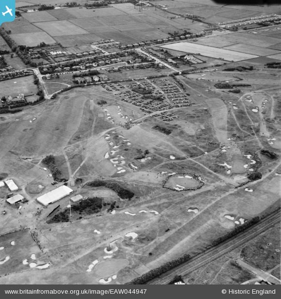
eaw044947 ENGLAND (1952). Lytham St Anne's, the 1952 Open Golf Championship (9-11 July) in progress at Royal Lytham St Anne's Golf Course, 1952
© Copyright OpenStreetMap contributors and licensed by the OpenStreetMap Foundation. 2024. Cartography is licensed as CC BY-SA.
Nearby Images (2)
EAW044947
 in progress at Royal Lytham St Anne's Golf Course, 1952")
EAW044948
 in progress at Royal Lytham St Anne's Golf Course, 1952")
Details
| Title | [EAW044947] Lytham St Anne's, the 1952 Open Golf Championship (9-11 July) in progress at Royal Lytham St Anne's Golf Course, 1952 |
| Reference | EAW044947 |
| Date | July-1952 |
| Link | |
| Place name | LYTHAM ST ANNE'S |
| Parish | SAINT ANNE'S ON THE SEA |
| District | |
| Country | ENGLAND |
| Easting / Northing | 333327, 428492 |
| Longitude / Latitude | -3.0111633636451, 53.748309375176 |
| National Grid Reference | SD333285 |


