
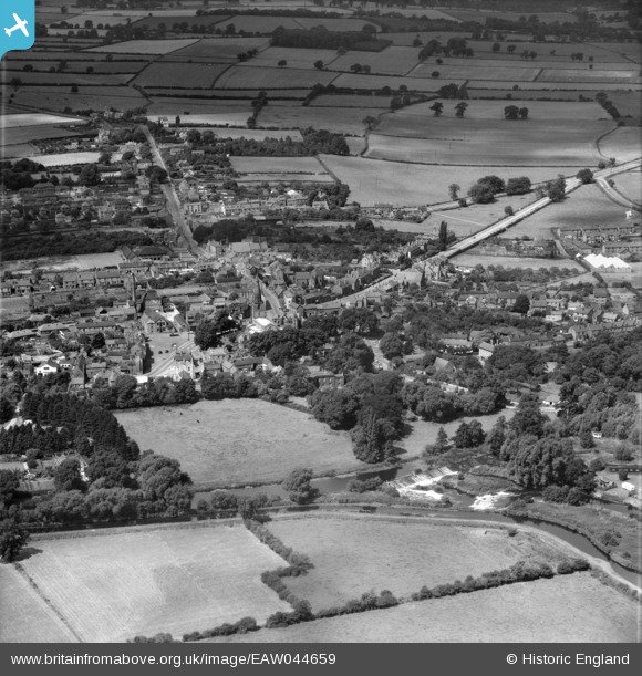
eaw044659 ENGLAND (1952). The village, Kegworth, 1952
© Copyright OpenStreetMap contributors and licensed by the OpenStreetMap Foundation. 2024. Cartography is licensed as CC BY-SA.
Nearby Images (2)
EAW044659

EAW044658

Details
| Title | [EAW044659] The village, Kegworth, 1952 |
| Reference | EAW044659 |
| Date | 15-July-1952 |
| Link | |
| Place name | KEGWORTH |
| Parish | KEGWORTH |
| District | |
| Country | ENGLAND |
| Easting / Northing | 448770, 326877 |
| Longitude / Latitude | -1.2759376045894, 52.836870942146 |
| National Grid Reference | SK488269 |
Pins
 chrisnt1949 |
Monday 20th of March 2023 07:33:39 PM |


