
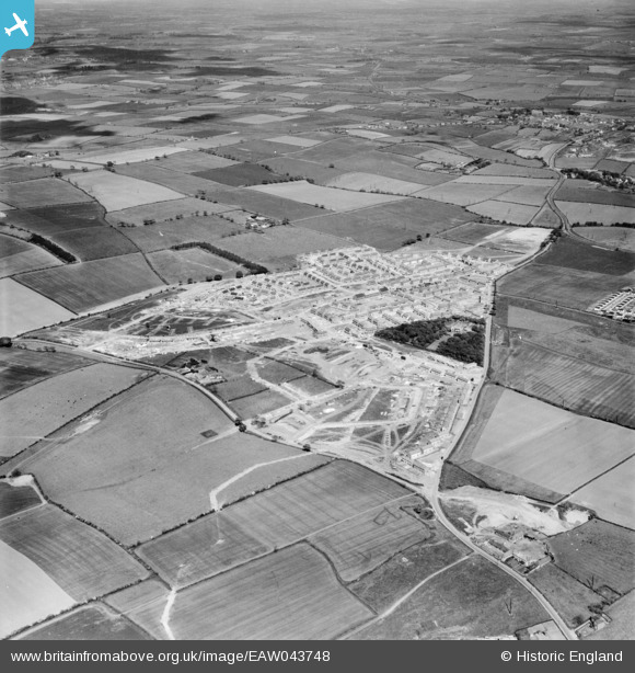
eaw043748 ENGLAND (1952). New houses under construction, Peterlee, from the south-east, 1952
© Copyright OpenStreetMap contributors and licensed by the OpenStreetMap Foundation. 2024. Cartography is licensed as CC BY-SA.
Details
| Title | [EAW043748] New houses under construction, Peterlee, from the south-east, 1952 |
| Reference | EAW043748 |
| Date | 5-June-1952 |
| Link | |
| Place name | PETERLEE |
| Parish | PETERLEE |
| District | |
| Country | ENGLAND |
| Easting / Northing | 443228, 541135 |
| Longitude / Latitude | -1.328111189875, 54.76318540071 |
| National Grid Reference | NZ432411 |
Pins
Be the first to add a comment to this image!


