
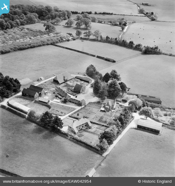
eaw042954 ENGLAND (1952). Barlavington Farm, Barlavington, 1952
© Copyright OpenStreetMap contributors and licensed by the OpenStreetMap Foundation. 2024. Cartography is licensed as CC BY-SA.
Nearby Images (4)
EAW042954

EAW042953

EAW042952

EAW042955

Details
| Title | [EAW042954] Barlavington Farm, Barlavington, 1952 |
| Reference | EAW042954 |
| Date | 9-May-1952 |
| Link | |
| Place name | BARLAVINGTON |
| Parish | BARLAVINGTON |
| District | |
| Country | ENGLAND |
| Easting / Northing | 497249, 116048 |
| Longitude / Latitude | -0.61585539168003, 50.935120591326 |
| National Grid Reference | SU972160 |
Pins
Be the first to add a comment to this image!


