
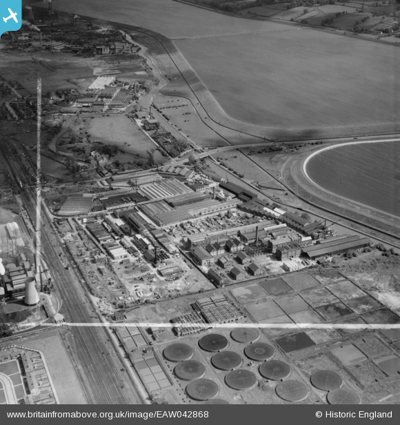
eaw042868 ENGLAND (1952). Riverside Industrial Estate and environs, Ponders End, 1952. This image was marked by Aerofilms Ltd for photo editing.
© Copyright OpenStreetMap contributors and licensed by the OpenStreetMap Foundation. 2024. Cartography is licensed as CC BY-SA.
Nearby Images (17)
EAW042868

EAW035936

EAW035937

EAW035935

EAW035939

EAW042860

EAW042859

EAW035941

EAW035940

EAW042864

EAW035938

EAW042858

EAW042861

EAW042865

EAW042863

EAW042867

EPW049717

Details
| Title | [EAW042868] Riverside Industrial Estate and environs, Ponders End, 1952. This image was marked by Aerofilms Ltd for photo editing. |
| Reference | EAW042868 |
| Date | 5-July-1952 |
| Link | |
| Place name | PONDERS END |
| Parish | |
| District | |
| Country | ENGLAND |
| Easting / Northing | 536261, 195290 |
| Longitude / Latitude | -0.030653835407315, 51.639417715746 |
| National Grid Reference | TQ363953 |
Pins
Be the first to add a comment to this image!


