
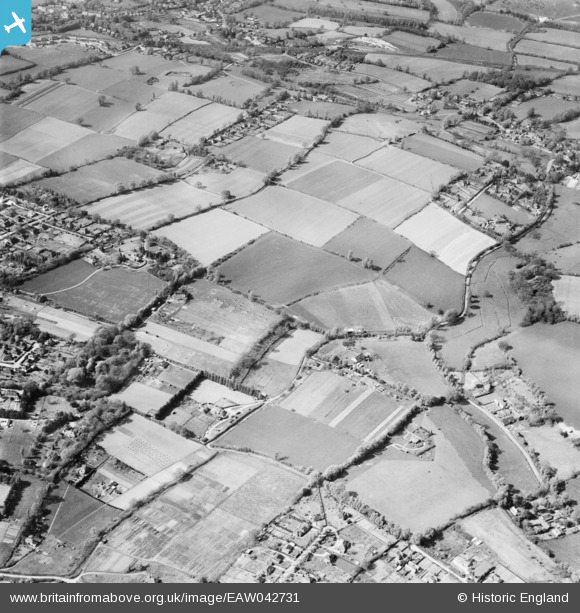
eaw042731 ENGLAND (1952). Fulvenden Farm (Home Farm) and the surrounding area, Hoe, 1952
© Copyright OpenStreetMap contributors and licensed by the OpenStreetMap Foundation. 2024. Cartography is licensed as CC BY-SA.
Nearby Images (13)
EAW042731
 and the surrounding area, Hoe, 1952")
EAW042732
 and the surrounding area, Hoe, 1952")
EAW042729
 and the surrounding area, Hoe, 1952")
EAW042727
 hay barns and Rad Lodge, Hoe, 1952")
EAW042726
 hay barns and Rad Lodge, Hoe, 1952")
EAW042725
, Hoe, 1952")
EAW042730
 and the surrounding area, Hoe, 1952")
EAW042728
 and the surrounding area, Hoe, 1952")
EAW042722
, Hoe, 1952")
EAW042720
, Hoe, 1952")
EAW042724
, Hoe, 1952")
EAW042721
, Hoe, 1952")
EAW042723
 and Fulvens Farm, Hoe, 1952")
Details
| Title | [EAW042731] Fulvenden Farm (Home Farm) and the surrounding area, Hoe, 1952 |
| Reference | EAW042731 |
| Date | 29-April-1952 |
| Link | |
| Place name | HOE |
| Parish | SHERE |
| District | |
| Country | ENGLAND |
| Easting / Northing | 509404, 146494 |
| Longitude / Latitude | -0.43370433649515, 51.206646583667 |
| National Grid Reference | TQ094465 |
Pins
Be the first to add a comment to this image!


