
eaw042158 ENGLAND (1952). Stranded vehicles in the snow on the A345 (now A346), Chiseldon, 1952

© Copyright OpenStreetMap contributors and licensed by the OpenStreetMap Foundation. 2024. Cartography is licensed as CC BY-SA.
Nearby Images (3)
EAW042158
, Chiseldon, 1952")
EAW042164
, Chiseldon, 1952")
EAW042159
, Chiseldon, 1952")
Details
| Title | [EAW042158] Stranded vehicles in the snow on the A345 (now A346), Chiseldon, 1952 |
| Reference | EAW042158 |
| Date | 31-March-1952 |
| Link | |
| Place name | CHISELDON |
| Parish | CHISELDON |
| District | |
| Country | ENGLAND |
| Easting / Northing | 419437, 178716 |
| Longitude / Latitude | -1.7199120260888, 51.506558261133 |
| National Grid Reference | SU194787 |
Pins
 TomRobin |
Saturday 7th of June 2014 06:09:47 PM | |
mclong |
Friday 16th of May 2014 03:45:25 AM | |
TomRobin |
Tuesday 29th of April 2014 11:56:50 PM | |
Hi TomRobin, thanks for taking a look at this one. We’ll update the catalogue and post your new location details here in due course. Yours, Katy Britain from Above Cataloguing Team Leader |
Katy Whitaker |
Monday 30th of June 2014 12:04:03 PM |
 Class31 |
Monday 28th of April 2014 11:21:54 AM |
User Comment Contributions
See also EAW042164 |
TomRobin |
Wednesday 5th of November 2014 02:40:23 PM |
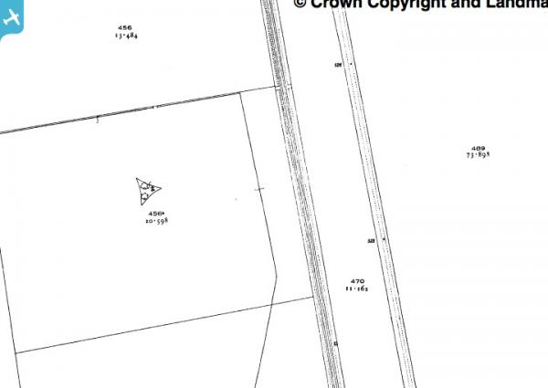
There are only a couple of places where the railway is level with the terrain, i.e. not embanked or in a cutting, plus by a field boundary. Both near Chiseldon at field 456 on the 1925 map |
TomRobin |
Tuesday 29th of April 2014 11:47:25 PM |
View is looking west. |
Class31 |
Monday 28th of April 2014 11:22:16 AM |


