
eaw041420 ENGLAND (1951). Wolf's Obelisk, Stowe Park, 1951.

© Copyright OpenStreetMap contributors and licensed by the OpenStreetMap Foundation. 2024. Cartography is licensed as CC BY-SA.
Details
| Title | [EAW041420] Wolf's Obelisk, Stowe Park, 1951. |
| Reference | EAW041420 |
| Date | 6-December-1951 |
| Link | |
| Place name | STOWE PARK |
| Parish | STOWE |
| District | |
| Country | ENGLAND |
| Easting / Northing | 467543, 238784 |
| Longitude / Latitude | -1.0150847166878, 52.042913062354 |
| National Grid Reference | SP675388 |
Pins
Be the first to add a comment to this image!
User Comment Contributions
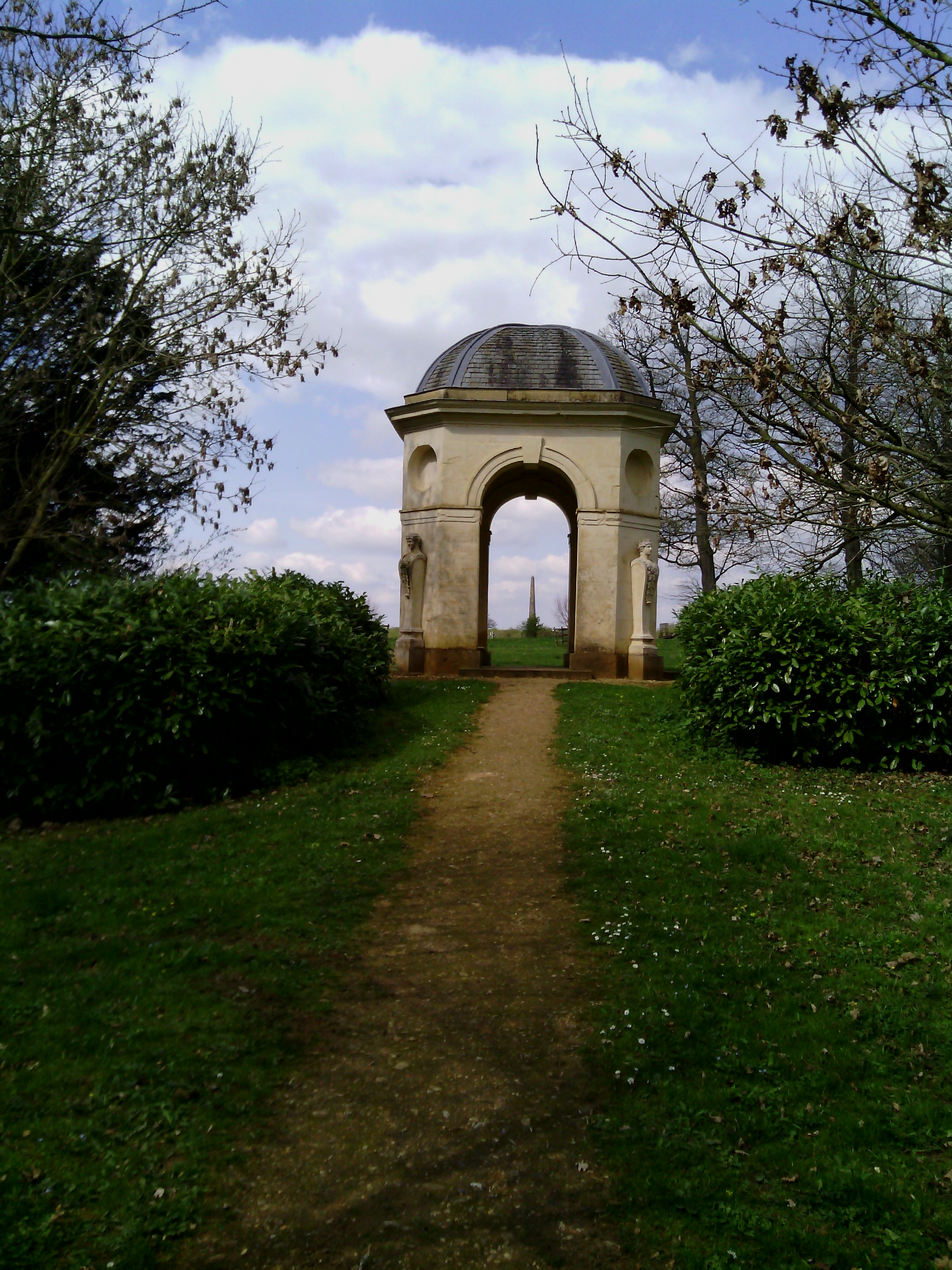 A distant view of Wolfe's Obelisk, 11/04/2014. I did manage to find a photo from my visit to Stowe although I didn't walk up to the monument. |
 Class31 |
Thursday 30th of October 2014 01:02:20 PM |
We visited Stowe Park earlier this year and had a good walk round within the National Trust boundary but we could not claim to have seen everything because of the vast site. This monument is outside the main National Trust site but I think we may have seen it in the distance. I was very lucky with this one in that I said Stowe to myself and it was. It's nice when that happens. The Obelisk is accessible as part of the National Trust's Deerpark Walk. See their website for details. |
Class31 |
Thursday 30th of October 2014 10:53:39 AM |
View looking north east |
Class31 |
Thursday 30th of October 2014 10:48:10 AM |
Wolfe's Obelisk at Stowe Park |
Class31 |
Thursday 30th of October 2014 10:46:52 AM |


