
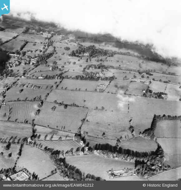
eaw041212 ENGLAND (1951). Clouds above Abbotswood and the surrounding countryside, Lower Swell, 1951. This image has been produced from a print.
© Copyright OpenStreetMap contributors and licensed by the OpenStreetMap Foundation. 2024. Cartography is licensed as CC BY-SA.
Details
| Title | [EAW041212] Clouds above Abbotswood and the surrounding countryside, Lower Swell, 1951. This image has been produced from a print. |
| Reference | EAW041212 |
| Date | 10-November-1951 |
| Link | |
| Place name | LOWER SWELL |
| Parish | SWELL |
| District | |
| Country | ENGLAND |
| Easting / Northing | 418292, 225554 |
| Longitude / Latitude | -1.7339512547256, 51.92776742765 |
| National Grid Reference | SP183256 |
Pins
Be the first to add a comment to this image!


