
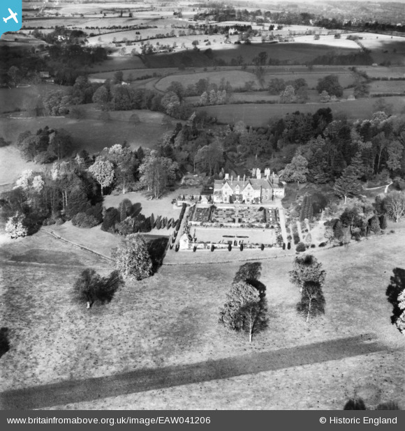
eaw041206 ENGLAND (1951). Abbotswood and the surrounding countryside, Lower Swell, 1951. This image has been produced from a print.
© Copyright OpenStreetMap contributors and licensed by the OpenStreetMap Foundation. 2024. Cartography is licensed as CC BY-SA.
Nearby Images (9)
EAW041206

EAW041202

EAW041204

EAW041208

EAW041203

EAW041207

EAW041205

EAW041211

EAW041209

Details
| Title | [EAW041206] Abbotswood and the surrounding countryside, Lower Swell, 1951. This image has been produced from a print. |
| Reference | EAW041206 |
| Date | 10-November-1951 |
| Link | |
| Place name | LOWER SWELL |
| Parish | SWELL |
| District | |
| Country | ENGLAND |
| Easting / Northing | 418097, 226287 |
| Longitude / Latitude | -1.7367488445084, 51.93436475644 |
| National Grid Reference | SP181263 |
Pins
Be the first to add a comment to this image!


