
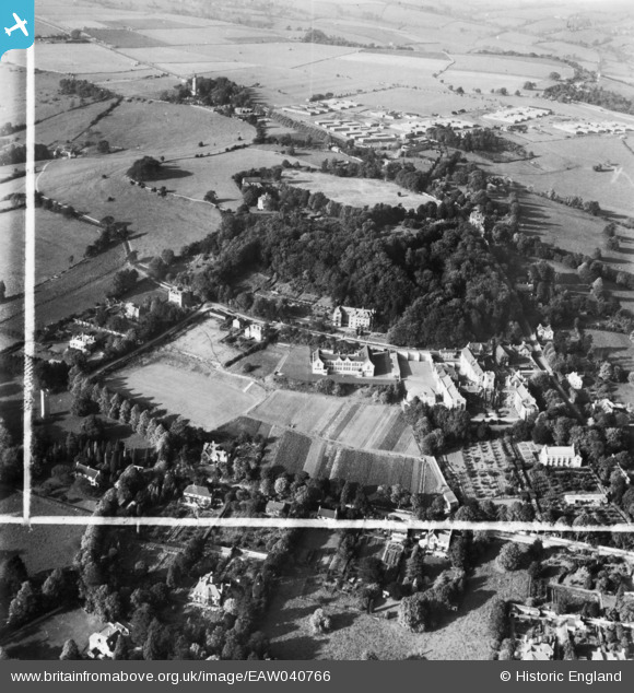
eaw040766 ENGLAND (1951). Kingswood School and Lansdown Park, Lansdown, 1951. This image has been produced from a print marked by Aerofilms Ltd for photo editing.
© Copyright OpenStreetMap contributors and licensed by the OpenStreetMap Foundation. 2024. Cartography is licensed as CC BY-SA.
Nearby Images (5)
EAW040766

EAW040769

EAW040767

EPR000135

EAW040768

Details
| Title | [EAW040766] Kingswood School and Lansdown Park, Lansdown, 1951. This image has been produced from a print marked by Aerofilms Ltd for photo editing. |
| Reference | EAW040766 |
| Date | 11-October-1951 |
| Link | |
| Place name | LANSDOWN |
| Parish | |
| District | |
| Country | ENGLAND |
| Easting / Northing | 374213, 166775 |
| Longitude / Latitude | -2.3707191965206, 51.39892595522 |
| National Grid Reference | ST742668 |
Pins
Be the first to add a comment to this image!


