
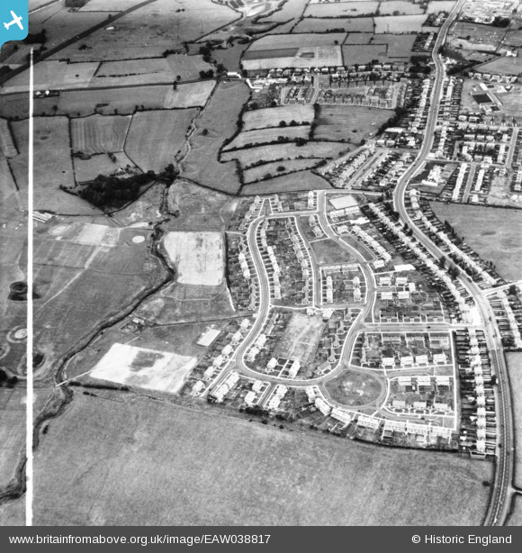
eaw038817 ENGLAND (1951). Housing development off Blackpool Road, Lea, 1951. This image has been produced from a print marked by Aerofilms Ltd for photo editing.
© Copyright OpenStreetMap contributors and licensed by the OpenStreetMap Foundation. 2024. Cartography is licensed as CC BY-SA.
Nearby Images (7)
EAW038817

EAW038819

EAW038814

EAW038818

EAW038813

EAW038815

EAW038820

Details
| Title | [EAW038817] Housing development off Blackpool Road, Lea, 1951. This image has been produced from a print marked by Aerofilms Ltd for photo editing. |
| Reference | EAW038817 |
| Date | 15-August-1951 |
| Link | |
| Place name | LEA |
| Parish | LEA |
| District | |
| Country | ENGLAND |
| Easting / Northing | 349290, 430434 |
| Longitude / Latitude | -2.7694151305984, 53.767562265737 |
| National Grid Reference | SD493304 |
Pins
Be the first to add a comment to this image!


