
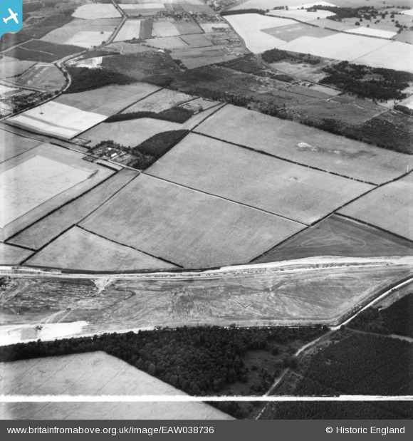
eaw038736 ENGLAND (1951). Papplewick Forest Farm and covered reservoir, Papplewick, 1951. This image has been produced from a print marked by Aerofilms Ltd for photo editing.
© Copyright OpenStreetMap contributors and licensed by the OpenStreetMap Foundation. 2024. Cartography is licensed as CC BY-SA.
Details
| Title | [EAW038736] Papplewick Forest Farm and covered reservoir, Papplewick, 1951. This image has been produced from a print marked by Aerofilms Ltd for photo editing. |
| Reference | EAW038736 |
| Date | 14-August-1951 |
| Link | |
| Place name | PAPPLEWICK |
| Parish | PAPPLEWICK |
| District | |
| Country | ENGLAND |
| Easting / Northing | 457765, 351699 |
| Longitude / Latitude | -1.1379840542231, 53.059113459199 |
| National Grid Reference | SK578517 |
Pins
Be the first to add a comment to this image!


