
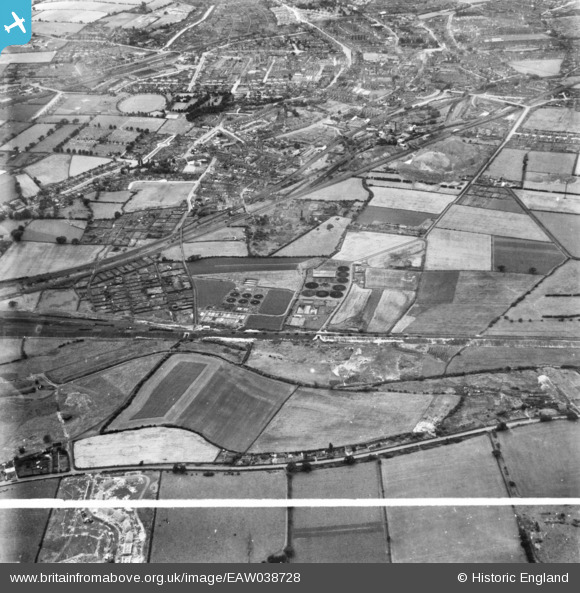
eaw038728 ENGLAND (1951). Sewage Farm at Butler's Hill and environs, Hucknall, 1951. This image has been produced from a print marked by Aerofilms Ltd for photo editing.
© Copyright OpenStreetMap contributors and licensed by the OpenStreetMap Foundation. 2024. Cartography is licensed as CC BY-SA.
Details
| Title | [EAW038728] Sewage Farm at Butler's Hill and environs, Hucknall, 1951. This image has been produced from a print marked by Aerofilms Ltd for photo editing. |
| Reference | EAW038728 |
| Date | 14-August-1951 |
| Link | |
| Place name | HUCKNALL |
| Parish | |
| District | |
| Country | ENGLAND |
| Easting / Northing | 454726, 348496 |
| Longitude / Latitude | -1.1838733306817, 53.030640815217 |
| National Grid Reference | SK547485 |
Pins
 Dave |
Monday 2nd of February 2015 08:19:15 PM |


