
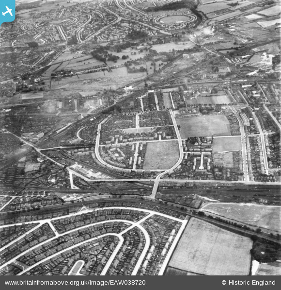
eaw038720 ENGLAND (1951). Saxondale Drive and environs, Highbury Vale, 1951. This image has been produced from a print.
© Copyright OpenStreetMap contributors and licensed by the OpenStreetMap Foundation. 2024. Cartography is licensed as CC BY-SA.
Nearby Images (12)
EAW038720

EPW043599

EPW043950

EPW043949

EPW043948

EPW043600

EPW043601

EPW021799

EPW021798

EPW021800

EPW043602

EPW021801

Details
| Title | [EAW038720] Saxondale Drive and environs, Highbury Vale, 1951. This image has been produced from a print. |
| Reference | EAW038720 |
| Date | 14-August-1951 |
| Link | |
| Place name | HIGHBURY VALE |
| Parish | |
| District | |
| Country | ENGLAND |
| Easting / Northing | 454884, 344289 |
| Longitude / Latitude | -1.18223256611, 52.992806715876 |
| National Grid Reference | SK549443 |
Pins
 ValuerJim |
Thursday 19th of November 2015 11:08:35 AM | |
ValuerJim |
Thursday 19th of November 2015 11:07:42 AM | |
ValuerJim |
Thursday 19th of November 2015 11:06:25 AM | |
ValuerJim |
Thursday 19th of November 2015 11:05:37 AM | |
ValuerJim |
Thursday 19th of November 2015 11:04:51 AM |


