
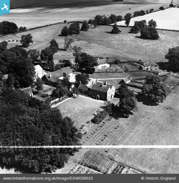
eaw038623 ENGLAND (1951). Pertwood Manor House and Farm, Higher Pertwood, 1951. This image has been produced from a print marked by Aerofilms Ltd for photo editing.
© Copyright OpenStreetMap contributors and licensed by the OpenStreetMap Foundation. 2024. Cartography is licensed as CC BY-SA.
Nearby Images (10)
EAW038623

EAW038622

EAW038620

EAW038627

EAW038628

EAW038621

EAW038629

EAW038625

EAW038626

EAW038624

Details
| Title | [EAW038623] Pertwood Manor House and Farm, Higher Pertwood, 1951. This image has been produced from a print marked by Aerofilms Ltd for photo editing. |
| Reference | EAW038623 |
| Date | 13-August-1951 |
| Link | |
| Place name | HIGHER PERTWOOD |
| Parish | CHICKLADE |
| District | |
| Country | ENGLAND |
| Easting / Northing | 388923, 135791 |
| Longitude / Latitude | -2.1582868433299, 51.120769867052 |
| National Grid Reference | ST889358 |
Pins
Be the first to add a comment to this image!


