
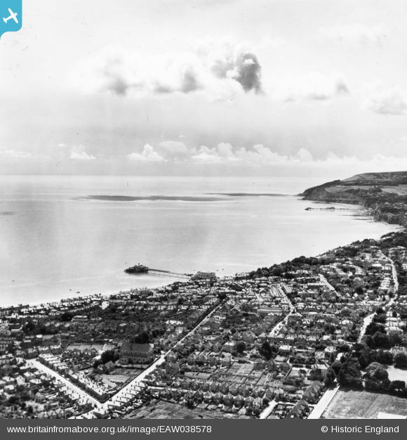
eaw038578 ENGLAND (1951). Sandown Bay and the town, Sandown, from the north, 1951. This image has been produced from a print.
© Copyright OpenStreetMap contributors and licensed by the OpenStreetMap Foundation. 2024. Cartography is licensed as CC BY-SA.
Nearby Images (3)
EAW038578

EPW043025

EPW016862

Details
| Title | [EAW038578] Sandown Bay and the town, Sandown, from the north, 1951. This image has been produced from a print. |
| Reference | EAW038578 |
| Date | 13-August-1951 |
| Link | |
| Place name | SANDOWN |
| Parish | SANDOWN |
| District | |
| Country | ENGLAND |
| Easting / Northing | 459880, 84449 |
| Longitude / Latitude | -1.1527992992391, 50.656056151365 |
| National Grid Reference | SZ599844 |
Pins
Be the first to add a comment to this image!


