
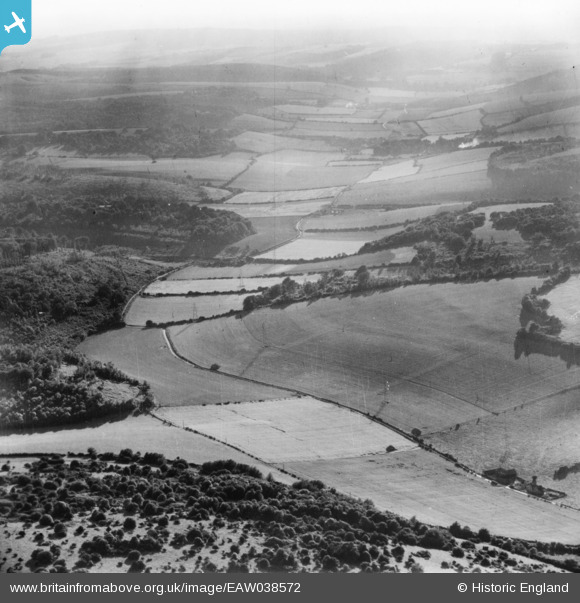
eaw038572 ENGLAND (1951). Droke, Boxgrove, from the east, 1951. This image has been produced from a print.
© Copyright OpenStreetMap contributors and licensed by the OpenStreetMap Foundation. 2024. Cartography is licensed as CC BY-SA.
Details
| Title | [EAW038572] Droke, Boxgrove, from the east, 1951. This image has been produced from a print. |
| Reference | EAW038572 |
| Date | 2-August-1951 |
| Link | |
| Place name | DROKE |
| Parish | EAST DEAN |
| District | |
| Country | ENGLAND |
| Easting / Northing | 492845, 113030 |
| Longitude / Latitude | -0.67928783016454, 50.908711766535 |
| National Grid Reference | SU928130 |
Pins
 TomRobin |
Tuesday 18th of November 2014 09:50:49 PM | |
TomRobin |
Tuesday 18th of November 2014 09:42:39 PM | |
TomRobin |
Tuesday 18th of November 2014 09:42:04 PM | |
TomRobin |
Tuesday 18th of November 2014 09:35:58 PM | |
TomRobin |
Tuesday 18th of November 2014 09:06:44 AM |
User Comment Contributions
Found it. East Dean |
TomRobin |
Tuesday 18th of November 2014 09:28:55 PM |
thought it maybe the east coast of Scotland but can't find it north of Perth. Neither is it on the south coast transmission line from Southampton to Rye, near to adjacent photos at Chichester. |
TomRobin |
Tuesday 18th of November 2014 06:40:30 PM |


