
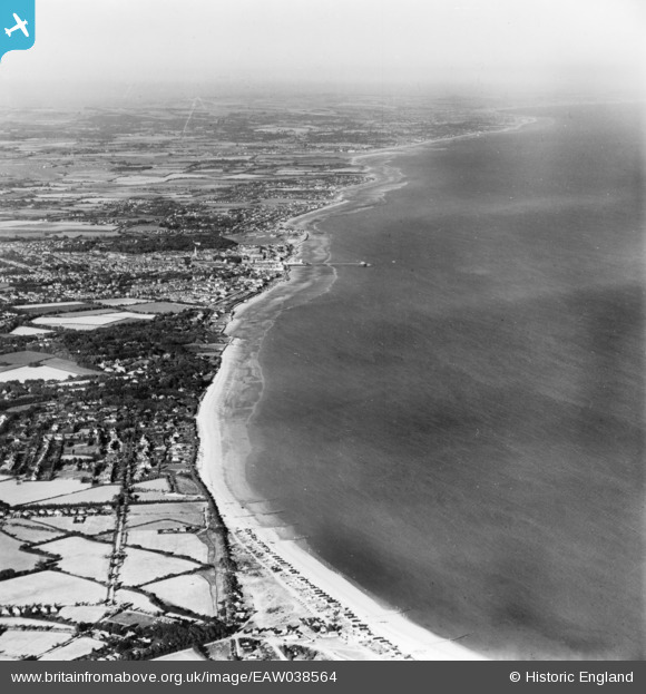
eaw038564 ENGLAND (1951). The town and surrounding coastline, Bognor Regis, from the south-west, 1951. This image has been produced from a print.
© Copyright OpenStreetMap contributors and licensed by the OpenStreetMap Foundation. 2024. Cartography is licensed as CC BY-SA.
Details
| Title | [EAW038564] The town and surrounding coastline, Bognor Regis, from the south-west, 1951. This image has been produced from a print. |
| Reference | EAW038564 |
| Date | 10-August-1951 |
| Link | |
| Place name | BOGNOR REGIS |
| Parish | ALDWICK |
| District | |
| Country | ENGLAND |
| Easting / Northing | 489974, 97311 |
| Longitude / Latitude | -0.72397731105495, 50.767832492871 |
| National Grid Reference | SZ900973 |
Pins
Be the first to add a comment to this image!


