
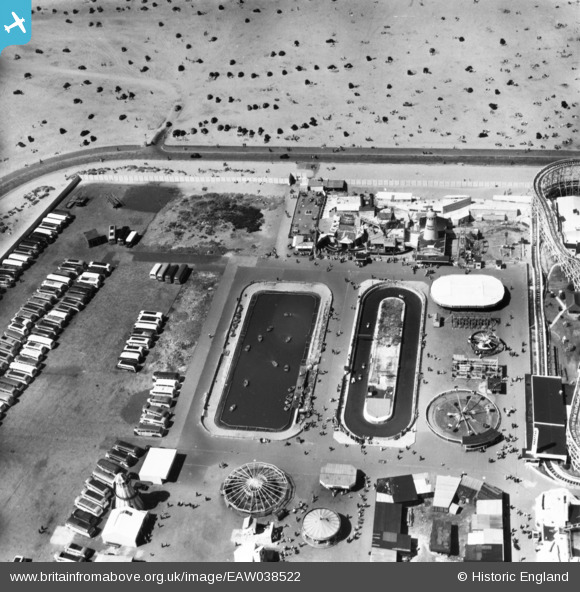
eaw038522 ENGLAND (1951). Pleasureland, Southport, 1951. This image has been produced from a print.
© Copyright OpenStreetMap contributors and licensed by the OpenStreetMap Foundation. 2024. Cartography is licensed as CC BY-SA.
Nearby Images (12)
EAW038522

EPW013091

EPW020365

EPW020363

EPW058497

EPW045243

EPW020364

EPW045244

EPW045246

EAW010136

EAW038520

EPW018657

Details
| Title | [EAW038522] Pleasureland, Southport, 1951. This image has been produced from a print. |
| Reference | EAW038522 |
| Date | 1-August-1951 |
| Link | |
| Place name | SOUTHPORT |
| Parish | |
| District | |
| Country | ENGLAND |
| Easting / Northing | 332714, 417410 |
| Longitude / Latitude | -3.0180519667452, 53.648628469877 |
| National Grid Reference | SD327174 |
Pins
Be the first to add a comment to this image!


