
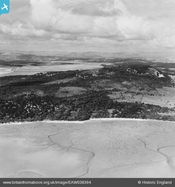
eaw038394 ENGLAND (1951). Arnside Park and Arnside Knott, Arnside Park, from the south-west, 1951. This image has been produced from a print.
© Copyright OpenStreetMap contributors and licensed by the OpenStreetMap Foundation. 2024. Cartography is licensed as CC BY-SA.
Details
| Title | [EAW038394] Arnside Park and Arnside Knott, Arnside Park, from the south-west, 1951. This image has been produced from a print. |
| Reference | EAW038394 |
| Date | 6-August-1951 |
| Link | |
| Place name | ARNSIDE PARK |
| Parish | ARNSIDE |
| District | |
| Country | ENGLAND |
| Easting / Northing | 344452, 476328 |
| Longitude / Latitude | -2.851178776676, 54.179553319539 |
| National Grid Reference | SD445763 |
Pins
Be the first to add a comment to this image!


