
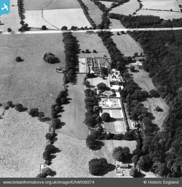
eaw038374 ENGLAND (1951). Eaves Hall, West Bradford, 1951. This image has been produced from a print marked by Aerofilms Ltd for photo editing.
© Copyright OpenStreetMap contributors and licensed by the OpenStreetMap Foundation. 2024. Cartography is licensed as CC BY-SA.
Nearby Images (9)
EAW038374

EAW038370

EAW038367

EAW038368

EAW038369

EAW038373

EAW038372

EAW038375

EAW038371

Details
| Title | [EAW038374] Eaves Hall, West Bradford, 1951. This image has been produced from a print marked by Aerofilms Ltd for photo editing. |
| Reference | EAW038374 |
| Date | 4-August-1951 |
| Link | |
| Place name | WEST BRADFORD |
| Parish | WEST BRADFORD |
| District | |
| Country | ENGLAND |
| Easting / Northing | 373783, 444767 |
| Longitude / Latitude | -2.399023759414, 53.898206850152 |
| National Grid Reference | SD738448 |
Pins
Be the first to add a comment to this image!


