
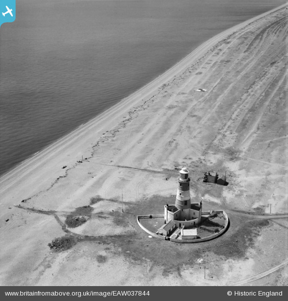
eaw037844 ENGLAND (1951). Orfordness Lighthouse, Orford Ness, 1951
© Copyright OpenStreetMap contributors and licensed by the OpenStreetMap Foundation. 2024. Cartography is licensed as CC BY-SA.
Nearby Images (2)
EAW037844

EAW037845

Details
| Title | [EAW037844] Orfordness Lighthouse, Orford Ness, 1951 |
| Reference | EAW037844 |
| Date | 17-July-1951 |
| Link | |
| Place name | ORFORD NESS |
| Parish | ORFORD |
| District | |
| Country | ENGLAND |
| Easting / Northing | 644944, 248792 |
| Longitude / Latitude | 1.5754906171199, 52.08277249194 |
| National Grid Reference | TM449488 |
Pins
 claxby |
Tuesday 7th of December 2021 07:42:44 PM | |
Chris Kolonko |
Saturday 16th of September 2017 07:29:10 PM |