
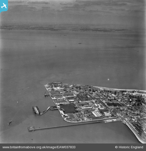
eaw037833 ENGLAND (1951). Blue Town, Sheerness, from the south, 1951. This image has been produced from a print.
© Copyright OpenStreetMap contributors and licensed by the OpenStreetMap Foundation. 2024. Cartography is licensed as CC BY-SA.
Nearby Images (4)
EAW037833

EAW037835

EAW021075

EAW009062

Details
| Title | [EAW037833] Blue Town, Sheerness, from the south, 1951. This image has been produced from a print. |
| Reference | EAW037833 |
| Date | 17-July-1951 |
| Link | |
| Place name | SHEERNESS |
| Parish | |
| District | |
| Country | ENGLAND |
| Easting / Northing | 590934, 174964 |
| Longitude / Latitude | 0.74765446525785, 51.440948443133 |
| National Grid Reference | TQ909750 |
Pins
Be the first to add a comment to this image!


