
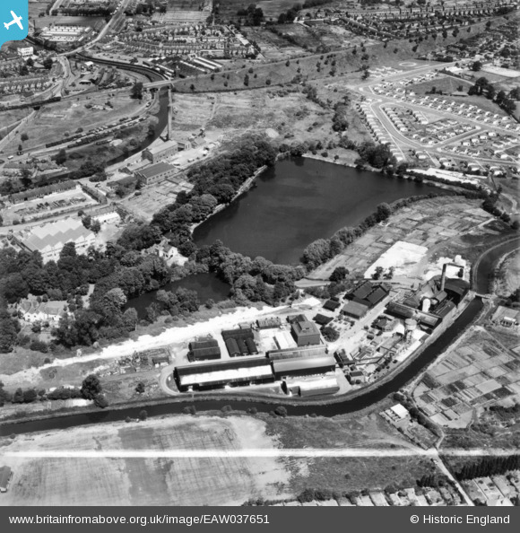
eaw037651 ENGLAND (1951). Lifford Chemical Works and Lifford Reservoir, King's Norton, 1951. This image has been produced from a print marked by Aerofilms Ltd for photo editing.
© Copyright OpenStreetMap contributors and licensed by the OpenStreetMap Foundation. 2024. Cartography is licensed as CC BY-SA.
Nearby Images (24)
EAW037651

EAW037654

EAW037648

EAW037653

EAW042903

EAW042902

EAW037649

EAW037647

EAW037650

EAW042905

EAW042900

EAW037655

EAW042901

EAW042892

EAW037652

EAW042898

EAW042893

EAW042896

EAW042894

EAW042895

EAW042897

EAW042899

EAW042904

EAW037656

Details
| Title | [EAW037651] Lifford Chemical Works and Lifford Reservoir, King's Norton, 1951. This image has been produced from a print marked by Aerofilms Ltd for photo editing. |
| Reference | EAW037651 |
| Date | 2-July-1951 |
| Link | |
| Place name | KING'S NORTON |
| Parish | |
| District | |
| Country | ENGLAND |
| Easting / Northing | 405775, 279746 |
| Longitude / Latitude | -1.9150821401137, 52.415303740166 |
| National Grid Reference | SP058797 |
Pins
Be the first to add a comment to this image!


