
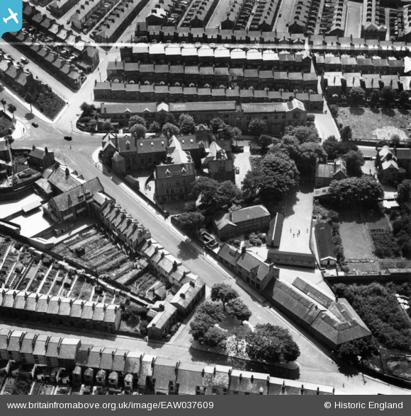
eaw037609 ENGLAND (1951). The Royal Grammar School, Lancaster, 1951. This image has been produced from a print marked by Aerofilms Ltd for photo editing.
© Copyright OpenStreetMap contributors and licensed by the OpenStreetMap Foundation. 2024. Cartography is licensed as CC BY-SA.
Nearby Images (7)
EAW037609

EAW037610

EAW037607

EAW037611

EAW037612

EAW037608

EPW029180

Details
| Title | [EAW037609] The Royal Grammar School, Lancaster, 1951. This image has been produced from a print marked by Aerofilms Ltd for photo editing. |
| Reference | EAW037609 |
| Date | 30-June-1951 |
| Link | |
| Place name | LANCASTER |
| Parish | |
| District | |
| Country | ENGLAND |
| Easting / Northing | 348355, 461555 |
| Longitude / Latitude | -2.7888534703591, 54.047185996546 |
| National Grid Reference | SD484616 |
Pins
 JHE |
Wednesday 29th of March 2017 01:31:50 PM | |
JHE |
Wednesday 29th of March 2017 01:29:12 PM | |
JHE |
Wednesday 29th of March 2017 01:29:08 PM |


