
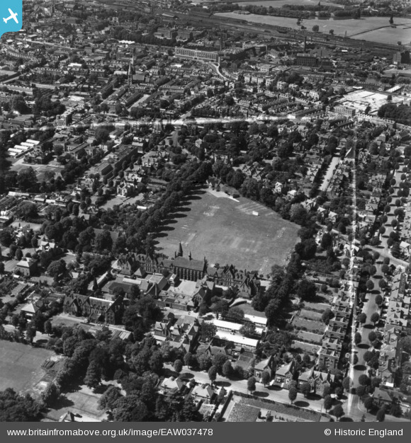
eaw037478 ENGLAND (1951). Reading School and environs, Reading, 1951. This image has been produced from a print marked by Aerofilms Ltd for photo editing.
© Copyright OpenStreetMap contributors and licensed by the OpenStreetMap Foundation. 2024. Cartography is licensed as CC BY-SA.
Nearby Images (16)
EAW037478

EAW037479

EAW037475

EAW037476

EAW037480

EPW005929

EAW037481

EPW005931

EAW037482

EAW037477

EAW037483

EPW005927

EPW005928

EPW005930

EPW022518

EPW000872

Details
| Title | [EAW037478] Reading School and environs, Reading, 1951. This image has been produced from a print marked by Aerofilms Ltd for photo editing. |
| Reference | EAW037478 |
| Date | 2-July-1951 |
| Link | |
| Place name | READING |
| Parish | |
| District | |
| Country | ENGLAND |
| Easting / Northing | 472685, 172823 |
| Longitude / Latitude | -0.95390630806427, 51.449232951485 |
| National Grid Reference | SU727728 |
Pins
Be the first to add a comment to this image!


