
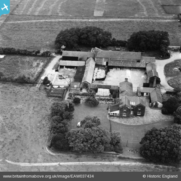
eaw037434 ENGLAND (1951). Hill House Farm, Dullingham, 1951. This image has been produced from a print marked by Aerofilms Ltd for photo editing.
© Copyright OpenStreetMap contributors and licensed by the OpenStreetMap Foundation. 2024. Cartography is licensed as CC BY-SA.
Nearby Images (8)
EAW037434

EAW037430

EAW037435

EAW037432

EAW037433

EAW037431

EAW037436

EAW037437

Details
| Title | [EAW037434] Hill House Farm, Dullingham, 1951. This image has been produced from a print marked by Aerofilms Ltd for photo editing. |
| Reference | EAW037434 |
| Date | 2-July-1951 |
| Link | |
| Place name | DULLINGHAM |
| Parish | DULLINGHAM |
| District | |
| Country | ENGLAND |
| Easting / Northing | 561561, 258607 |
| Longitude / Latitude | 0.36440940204179, 52.201578204269 |
| National Grid Reference | TL616586 |
Pins
Be the first to add a comment to this image!


