
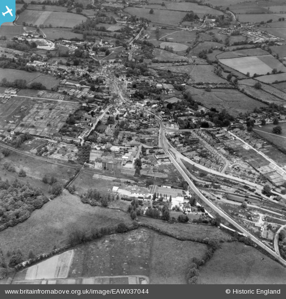
eaw037044 ENGLAND (1951). The town, Great Dunmow, 1951. This image has been produced from a print.
© Copyright OpenStreetMap contributors and licensed by the OpenStreetMap Foundation. 2024. Cartography is licensed as CC BY-SA.
Nearby Images (8)
EAW037044

EAW021040

EAW037043

EPW025009

EPW025007

EAW021039

EAW042129

EAW042130

Details
| Title | [EAW037044] The town, Great Dunmow, 1951. This image has been produced from a print. |
| Reference | EAW037044 |
| Date | 6-June-1951 |
| Link | |
| Place name | GREAT DUNMOW |
| Parish | GREAT DUNMOW |
| District | |
| Country | ENGLAND |
| Easting / Northing | 562937, 221597 |
| Longitude / Latitude | 0.36689439948913, 51.868677133439 |
| National Grid Reference | TL629216 |
Pins
 Matt Aldred edob.mattaldred.com |
Thursday 28th of September 2023 05:05:55 PM |


