
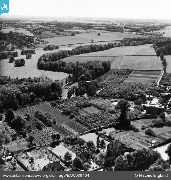
eaw036464 ENGLAND (1951). The R. J. Goodchild Ltd Nurseries and the surrounding countryside, Farnborough, from the north-east, 1951. This image has been produced from a print.
© Copyright OpenStreetMap contributors and licensed by the OpenStreetMap Foundation. 2024. Cartography is licensed as CC BY-SA.
Nearby Images (10)
EAW036464

EAW036456

EAW036459

EAW036455

EAW036462

EAW036458

EAW036454

EAW036457

EAW036461

EAW036460

Details
| Title | [EAW036464] The R. J. Goodchild Ltd Nurseries and the surrounding countryside, Farnborough, from the north-east, 1951. This image has been produced from a print. |
| Reference | EAW036464 |
| Date | 31-May-1951 |
| Link | |
| Place name | FARNBOROUGH |
| Parish | |
| District | |
| Country | ENGLAND |
| Easting / Northing | 544486, 164240 |
| Longitude / Latitude | 0.075420184539213, 51.358331697414 |
| National Grid Reference | TQ445642 |
Pins
Be the first to add a comment to this image!


