
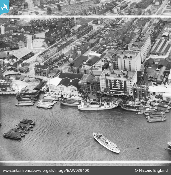
eaw036400 ENGLAND (1951). Chambers Wharf and environs, Bermondsey, 1951. This image has been produced from a print marked by Aerofilms Ltd for photo editing.
© Copyright OpenStreetMap contributors and licensed by the OpenStreetMap Foundation. 2024. Cartography is licensed as CC BY-SA.
Nearby Images (10)
EAW036400

EAW036401

EAW036396

EAW036403

EAW036404

EAW036398

EAW036405

EAW036399

EAW036397

EAW036402

Details
| Title | [EAW036400] Chambers Wharf and environs, Bermondsey, 1951. This image has been produced from a print marked by Aerofilms Ltd for photo editing. |
| Reference | EAW036400 |
| Date | 29-May-1951 |
| Link | |
| Place name | BERMONDSEY |
| Parish | |
| District | |
| Country | ENGLAND |
| Easting / Northing | 534354, 179772 |
| Longitude / Latitude | -0.064132888462148, 51.500412482006 |
| National Grid Reference | TQ344798 |
Pins
 Robin |
Tuesday 14th of November 2023 03:46:14 PM |


