
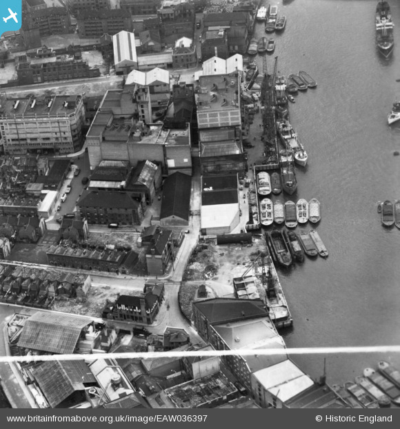
eaw036397 ENGLAND (1951). Chambers Wharf, Bermondsey, 1951. This image has been produced from a print marked by Aerofilms Ltd for photo editing.
© Copyright OpenStreetMap contributors and licensed by the OpenStreetMap Foundation. 2024. Cartography is licensed as CC BY-SA.
Nearby Images (10)
EAW036397

EAW036398

EAW036396

EAW036399

EAW036401

EAW036404

EAW036403

EAW036400

EAW036402

EAW036405

Details
| Title | [EAW036397] Chambers Wharf, Bermondsey, 1951. This image has been produced from a print marked by Aerofilms Ltd for photo editing. |
| Reference | EAW036397 |
| Date | 29-May-1951 |
| Link | |
| Place name | BERMONDSEY |
| Parish | |
| District | |
| Country | ENGLAND |
| Easting / Northing | 534387, 179744 |
| Longitude / Latitude | -0.063668361282821, 51.500152989433 |
| National Grid Reference | TQ344797 |
Pins
Be the first to add a comment to this image!


