
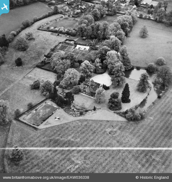
eaw036338 ENGLAND (1951). Field Place, Compton, 1951. This image has been produced from a print marked by Aerofilms Ltd for photo editing.
© Copyright OpenStreetMap contributors and licensed by the OpenStreetMap Foundation. 2024. Cartography is licensed as CC BY-SA.
Nearby Images (7)
EAW036338

EAW036342

EAW036343

EAW036341

EAW036344

EAW036337

EAW036339

Details
| Title | [EAW036338] Field Place, Compton, 1951. This image has been produced from a print marked by Aerofilms Ltd for photo editing. |
| Reference | EAW036338 |
| Date | 23-May-1951 |
| Link | |
| Place name | COMPTON |
| Parish | COMPTON |
| District | |
| Country | ENGLAND |
| Easting / Northing | 495794, 146559 |
| Longitude / Latitude | -0.62847208229229, 51.20967640335 |
| National Grid Reference | SU958466 |
Pins
Be the first to add a comment to this image!


