
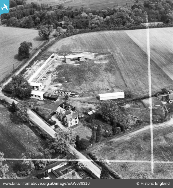
eaw036316 ENGLAND (1951). Pyrford Place Farm, Pyrford Green, 1951. This image has been produced from a print marked by Aerofilms Ltd for photo editing.
© Copyright OpenStreetMap contributors and licensed by the OpenStreetMap Foundation. 2024. Cartography is licensed as CC BY-SA.
Nearby Images (7)
EAW036316

EAW036322

EAW036317

EAW036321

EAW036318

EAW036320

EAW036319

Details
| Title | [EAW036316] Pyrford Place Farm, Pyrford Green, 1951. This image has been produced from a print marked by Aerofilms Ltd for photo editing. |
| Reference | EAW036316 |
| Date | 23-May-1951 |
| Link | |
| Place name | PYRFORD GREEN |
| Parish | |
| District | |
| Country | ENGLAND |
| Easting / Northing | 504817, 158989 |
| Longitude / Latitude | -0.495686866497, 51.31983423189 |
| National Grid Reference | TQ048590 |
Pins
Be the first to add a comment to this image!


