
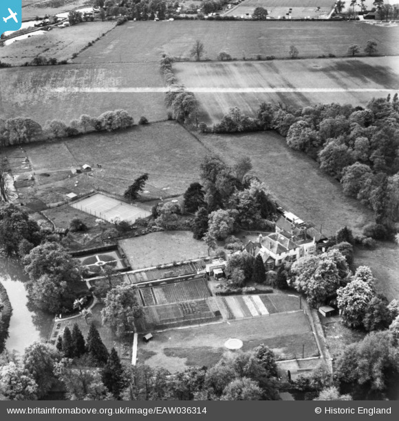
eaw036314 ENGLAND (1951). Pyrford Place, Pyrford Green, 1951. This image has been produced from a print marked by Aerofilms Ltd for photo editing.
© Copyright OpenStreetMap contributors and licensed by the OpenStreetMap Foundation. 2024. Cartography is licensed as CC BY-SA.
Nearby Images (10)
EAW036314

EAW036315

EAW036325

EAW036313

EAW036310

EAW036324

EAW036309

EAW036312

EAW036323

EAW036311

Details
| Title | [EAW036314] Pyrford Place, Pyrford Green, 1951. This image has been produced from a print marked by Aerofilms Ltd for photo editing. |
| Reference | EAW036314 |
| Date | 23-May-1951 |
| Link | |
| Place name | PYRFORD GREEN |
| Parish | |
| District | |
| Country | ENGLAND |
| Easting / Northing | 505135, 158328 |
| Longitude / Latitude | -0.49131965428955, 51.313833366716 |
| National Grid Reference | TQ051583 |
Pins
Be the first to add a comment to this image!


