
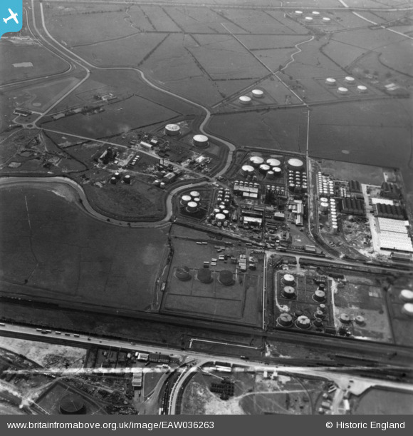
eaw036263 ENGLAND (1951). Part of the Oil Refinery at Stanlow, Ellesmere Port, 1951. This image has been produced from a print marked by Aerofilms Ltd for photo editing.
© Copyright OpenStreetMap contributors and licensed by the OpenStreetMap Foundation. 2024. Cartography is licensed as CC BY-SA.
Nearby Images (18)
EAW036263

EPW046267

EAW001908

EPW046263

EAW036266

EAW036255

EPW046271

EAW036254

EPW046265

EPW046272

EAW036260

EPW046264

EPW046269

EPW046268

EAW036265

EPW046266

EAW036261

EAW036256

Details
| Title | [EAW036263] Part of the Oil Refinery at Stanlow, Ellesmere Port, 1951. This image has been produced from a print marked by Aerofilms Ltd for photo editing. |
| Reference | EAW036263 |
| Date | 12-May-1951 |
| Link | |
| Place name | ELLESMERE PORT |
| Parish | |
| District | |
| Country | ENGLAND |
| Easting / Northing | 342560, 375860 |
| Longitude / Latitude | -2.8615055712919, 53.276330550979 |
| National Grid Reference | SJ426759 |
Pins
Be the first to add a comment to this image!


