
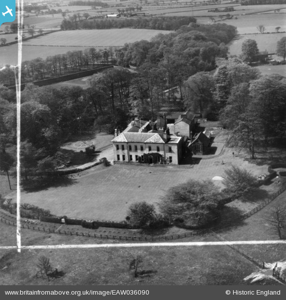
eaw036090 ENGLAND (1951). Mere Hall, Mere, 1951. This image has been produced from a print marked by Aerofilms Ltd for photo editing.
© Copyright OpenStreetMap contributors and licensed by the OpenStreetMap Foundation. 2024. Cartography is licensed as CC BY-SA.
Nearby Images (5)
EAW036090

EAW036089

EAW036091

EAW036094

EAW036093

Details
| Title | [EAW036090] Mere Hall, Mere, 1951. This image has been produced from a print marked by Aerofilms Ltd for photo editing. |
| Reference | EAW036090 |
| Date | 18-May-1951 |
| Link | |
| Place name | MERE |
| Parish | MERE |
| District | |
| Country | ENGLAND |
| Easting / Northing | 372416, 381607 |
| Longitude / Latitude | -2.414234056553, 53.330387421235 |
| National Grid Reference | SJ724816 |
Pins
Be the first to add a comment to this image!


