
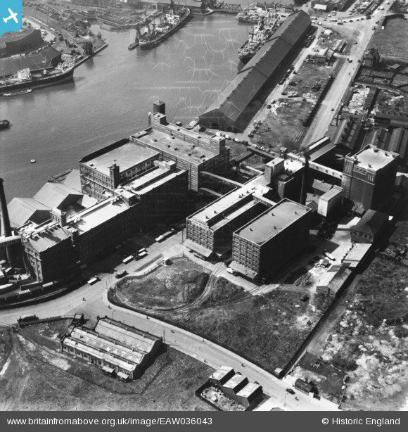
eaw036043 ENGLAND (1951). Buchanan's Flour Mills, Seacombe, 1951. This image has been produced from a damaged print.
© Copyright OpenStreetMap contributors and licensed by the OpenStreetMap Foundation. 2024. Cartography is licensed as CC BY-SA.
Nearby Images (21)
EAW036043

EAW036041

EAW036042

EAW038512

EAW038518

EAW038513

EAW038519

EAW036040

EAW038514

EAW036046

EAW036039

EAW038510

EAW036047

EAW036038

EAW036045

EAW036044

EAW038511

EAW038516

EAW038509

EAW038515

EAW038517

Details
| Title | [EAW036043] Buchanan's Flour Mills, Seacombe, 1951. This image has been produced from a damaged print. |
| Reference | EAW036043 |
| Date | 11-May-1951 |
| Link | |
| Place name | SEACOMBE |
| Parish | |
| District | |
| Country | ENGLAND |
| Easting / Northing | 331602, 390415 |
| Longitude / Latitude | -3.0289757036674, 53.405854224542 |
| National Grid Reference | SJ316904 |
Pins
Be the first to add a comment to this image!


